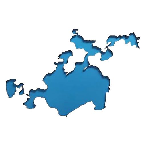
A group of concerned lake residents are researching reasons why the Woman Lake Chain is approaching historic lows. The impact is widespread on the chain of lakes and residents are looking for an explanation and more importantly a fix. The Minnesota DNR and Cass SWCD say two things:
- we are in a severe drought, and
- the new rock arch rapids (RAR) has the same crest height (1322.6 ft) as the old dam.
Both statements are technically true—but they do not explain what the lake is actually doing.
This short explainer outlines, in plain language, how the new RAR can lower the lake without any official drawdown, and why certain permit phrases can authorize lake‑level impacts without ever saying so.
- The RAR Is Still Flowing During Severe Drought
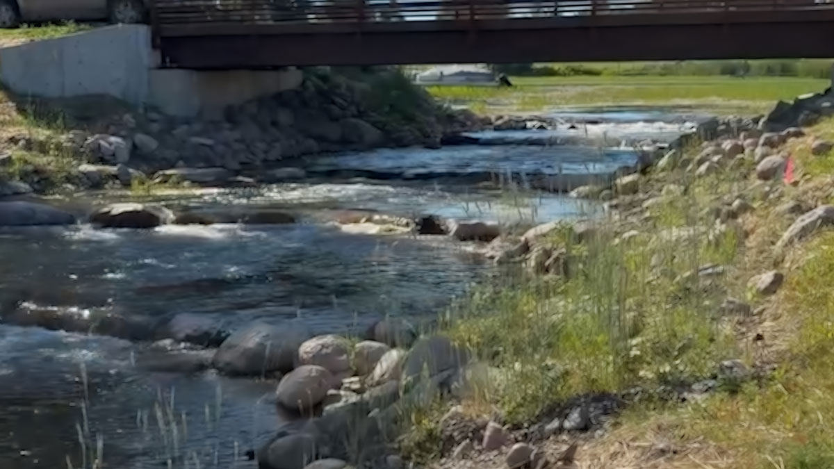
Even with extremely low inflow, the new RAR continues releasing about six inches of water over the crest.
Under similar conditions, the old dam often slowed to a trickle or stopped flowing entirely.
This tells us the new structure is passing more water than the old dam, even during drought.
- “Same Crest Height” Does Not Mean “Same Lake Level”
The crest elevation may be unchanged, but the structure is not.
The new RAR includes:
- A wider crest (more water can pass at the same elevation)
- 9‑inch gaps between boulders (continuous leakage below crest)
- Fish‑passage voids (extra low‑flow discharge)
These features guarantee that the RAR will release more water than the old dam—especially when inflow is low.
- How This Creates a “Functional Drawdown” Without Saying the Words
No agency has announced a lake drawdown. But a lake can still be lowered through mechanics, not policy.
Here’s the simple chain of events:
- Drought reduces inflow.
- The RAR continues releasing water through gaps and a wider crest.
- Outflow becomes greater than inflow.
- The lake drops until inflow finally matches leakage.
- Because leakage occurs below crest height, the lake stabilizes below historical levels.
This is called a functional drawdown—a lake lowered by outlet behavior rather than an official decision.
- The Permit Language That Allows Lake Lowering Without Saying So
In reviewing MN DNR Public Waters Work Permits and Cass SWCD project descriptions, certain phrases appear frequently. None of them say “lower the lake,” but all of them can cause lake lowering when applied to an outlet structure.
These include:
- Outlet modification — often increases outflow
- Channel connectivity improvement — can mean removing flow restrictions
- Fish passage enhancement — requires sub‑crest gaps
- Hydraulic efficiency improvement — euphemism for increased discharge
- Restoration of natural flow regime — often lowers lakes held higher by old dams
- Removal of barriers — can lower outlet control points
- Stabilization of outlet structure — often widens crests or removes obstructions
These phrases sound ecological and harmless. But they directly affect how much water leaves a lake.
When combined with a structure like the RAR, they can authorize changes that functionally lower lake levels without ever stating that outcome.
- Why Drought Alone Cannot Explain the Current Lake Level
Drought explains low inflow, not continued outflow.
If drought were the only factor, the outlet should be nearly dry. Instead, it is still flowing.
That means the outlet structure—not just the weather—is influencing lake levels.
- A Clear Recommendation for Protecting the Girl/Woman Lakes OHWL (1324.3 NAVD88)
The Ordinary High-Water Level (OHWL) for Girl & Woman Lake is 1324.3 (NAVD88) — the elevation that historically defines the lake’s normal operating pool.
Today, the new RAR’s lowest continuous flow path (the bottom of the 9‑inch fish‑passage gaps) sits 29.4 inches below the OHWL. This means the lake begins losing water long before it reaches its historic normal level. That mechanical leakage is what we see as preventing the lake from recovering to the OHWL.
To preserve the OHWL, to citizen researchers it seems the outlet must be tied to the OHWL — not far below it.
Set the lowest continuous flow path — the bottom of any fish‑passage gaps or sub‑crest voids — at or just below the OHWL 1324.3 (NAVD88), not significantly below it.
When the lowest flow path is far below OHWL (as it is today), the lake will always stabilize below its historic level, even after drought ends.
- What Residents Should Know
The new RAR was built for fish passage and ecological connectivity. But its design—wider crest, sub‑crest gaps, and flow‑friendly geometry—allows more water to leave the lake than the old dam ever did during drought.
This is the most likely explanation for the historic low water levels.
This summary is not about blame. It is about understanding how the structure works so residents can ask informed questions and request the data needed to verify its performance.