
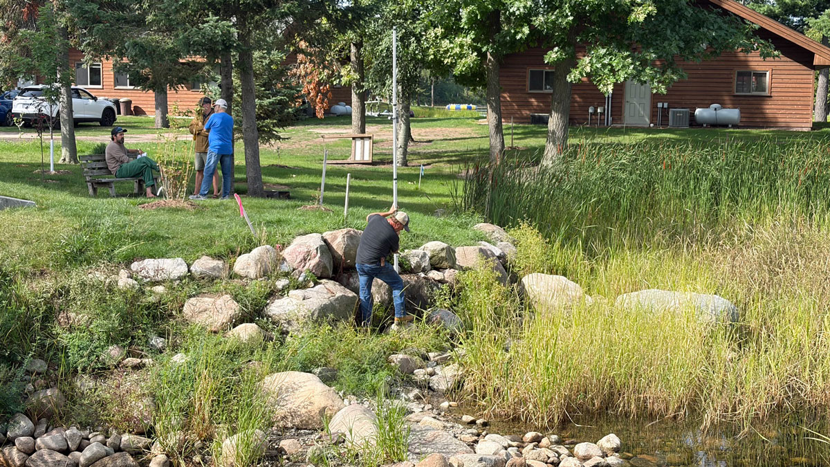
On Saturday morning a small group of local citizens joined an independent, professional contractor at the rock arch rapids (RAR) in Longville to complete a survey of the structure. This contractor has extensive experience specifically with RAR projects throughout the state of Minnesota. The goal of the visit was two-fold. First to confirm the crest measurement and second to review the construction material used to create the RAR underlying foundation.
Confirm Crest Measurement
The process started by locating the National Geographic Survey (NGS) pin on Highway 84 across from the motel (station 1111Q). Using this pin as the benchmark, the following measurements were recorded during the survey:
- Benchmark: 1328.13′
- Rod Height: 4.25′
- Weir Crest: 1322.6′
- Difference: 6.53′
The RAR crest measurement was consistent with that stated by the DNR’s design documentation. However, just because the crest is correct, the crest measurement does not account for water flowing in the gaps between the rocks. These gaps are anywhere between 5-7 inches lower than the crest; if the gaps are large or not tightly controlled, upstream levels may sit lower than expected compared to the old dam. The change in dam width from 16ft to 30ft also impacts on how water moves and can affect upstream levels by passing more water in various flow stages.
So, just matching the same crest does not automatically equal the same upstream stage behavior across the full flow range.
The recommendation: Obtain actual pre- and post-construction field measurements of lake levels and outflows at various flow stages to capture the true behavior of the RAR, especially low-flow stages and below crest levels.
Review of Construction Material
The contractor reviewed the photographic record of the area before, during and after construction construction. Rocks were shaded in the photographs to more easy to identify them during the different stages of construction. It appears the excavation during construction included much of the original dam bed, including the old crest of the dam. The new crest appears to be positioned behind where the old crest was located.
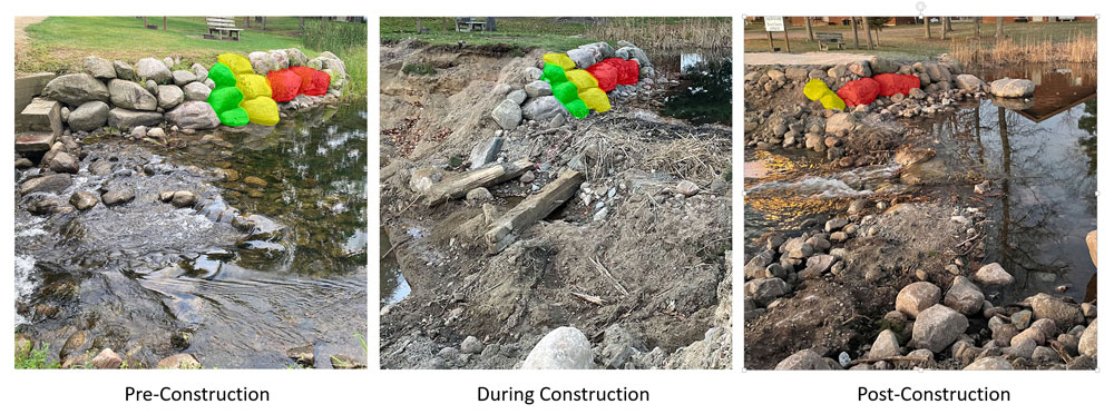
The contractor raised concerns that excavation of the old dam bed and replacing it with new material likely affected the permeability of the RAR’s foundation. The contractor reviewed boring data reports and the RAR design engineering document.
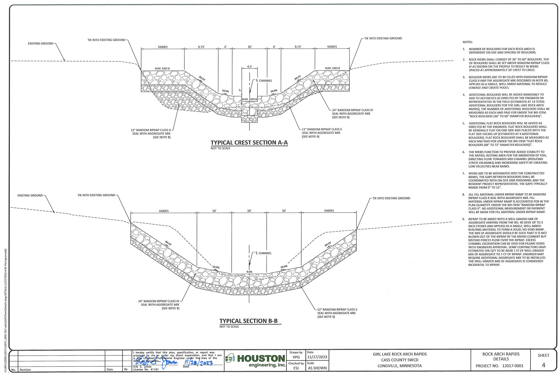
The design showed no evidence that an impermeable structure, such as cut-off wall (sometimes a stainless-steel wall), was used within the weirs to prevent infiltration of water. Cut-off walls were commonly used within the weirs in other RAR projects.
Given that the boring data revealed a base of primarily sand and that it appeared that only boulders, rocks and sand were used in the construction of the weirs, it raises the likelihood that water may be infiltrating below the weir structures and is contributing to a greater loss of water.
The recommendation: Conduct a discharge analysis using measurements both above the RAR as well as below to confirm whether water permeates the weir structures.